Phillip Lee and the Cowford Ferry on the South Bank
Adjoining Cecilton Plantation upriver at Miller Creek, was a 400-acre tract granted to Phillip Lee. A farm was created by Lee on what had once been heavily wooded land. That land is today the neighborhood of St. Nicholas and Bishop Kenny High School, extending beyond to the South Bank River Walk.
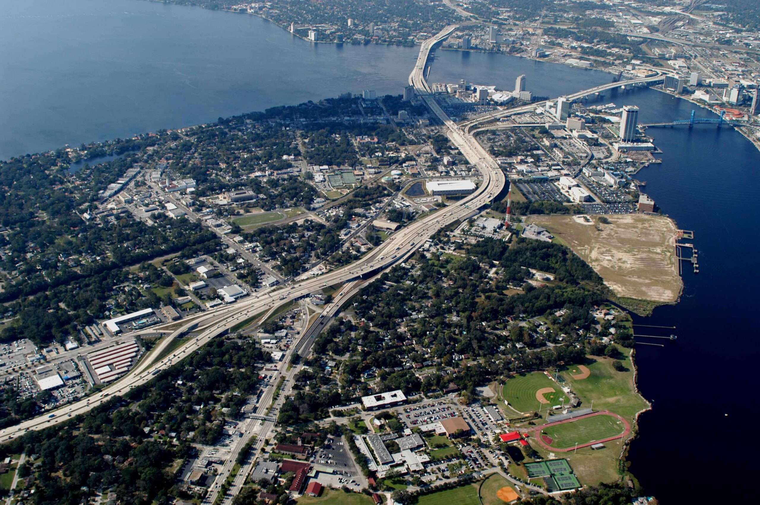
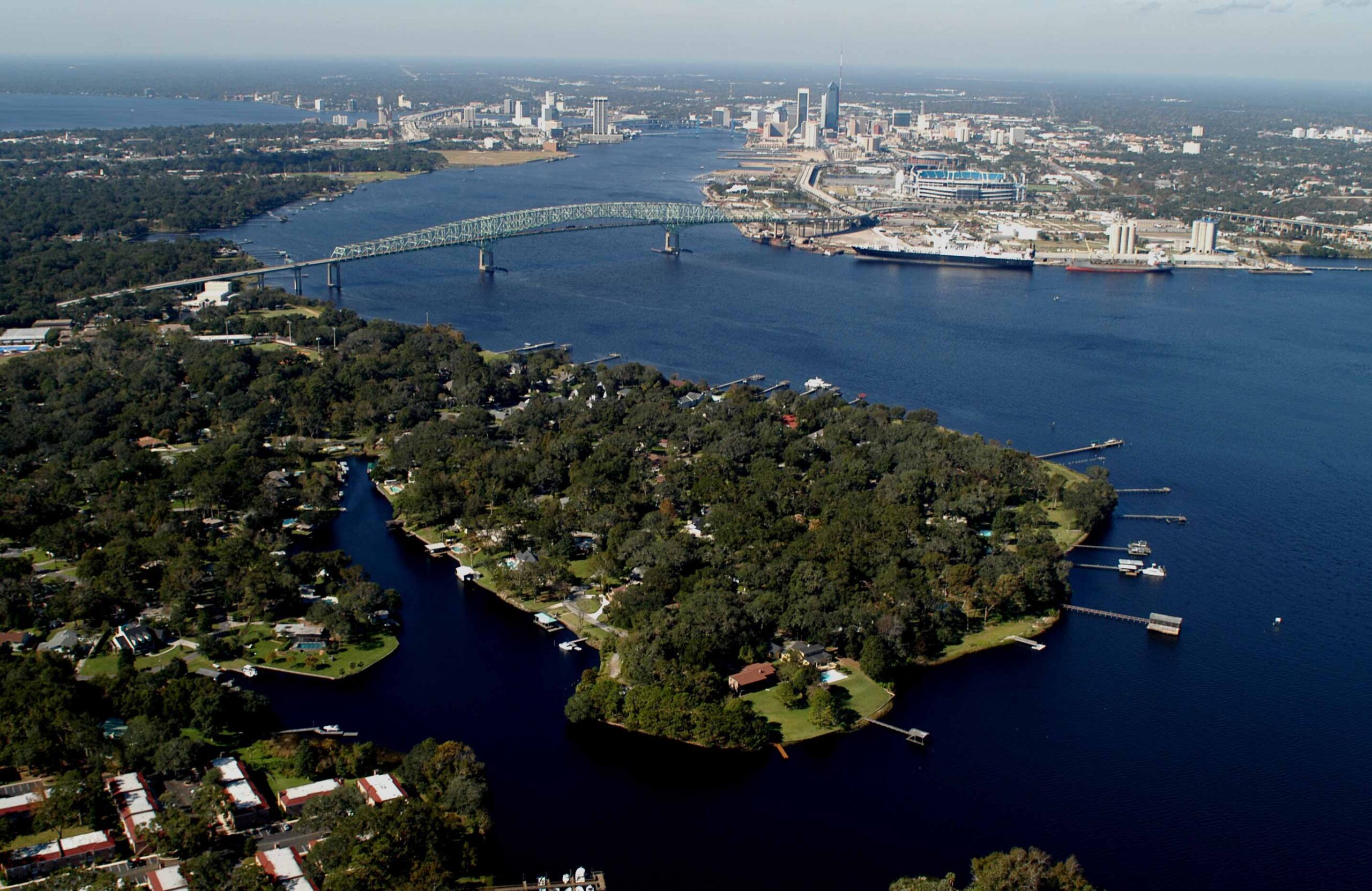
The shore line on the south, beginning with the playing fields at Bishop Kenny High School, was from 1763 to 1784 the site of Phillip Lee’s 400-acre farm and the Cowford Ferry. The King’s Road terminated at the south shore a short distance downriver from where the Main Street Bridge (the first bridge shown in this view).
Lee is believed to been the master of the Cowford Ferry, since the upriver boundary of his farm adjoined land set aside for the ferry. The government’s policy was to reserve land on both the north and south banks for one mile on each side of the ferry as Crown property for public use. Travelers heading north from St. Augustine followed the King’s Road to the St. Johns River and waited to board the ferry at what is now the South Bank River Walk near the Main Street Bridge. The site for the landing on the north of the river is today near the intersection of Liberty and Water Streets in the central business district of Jacksonville. Although Lee resided in Florida for nearly two decades, operating a river ferry during the tumultous years of the American Revolution must have resulted in perilous challenges.